Tourism board video campaigns: the drone footage trap
Tourism boards spend more than $2.3 billion annually on digital marketing. A material share of that output opens the same way: drone rises, coastline appears, music builds, title fades in.
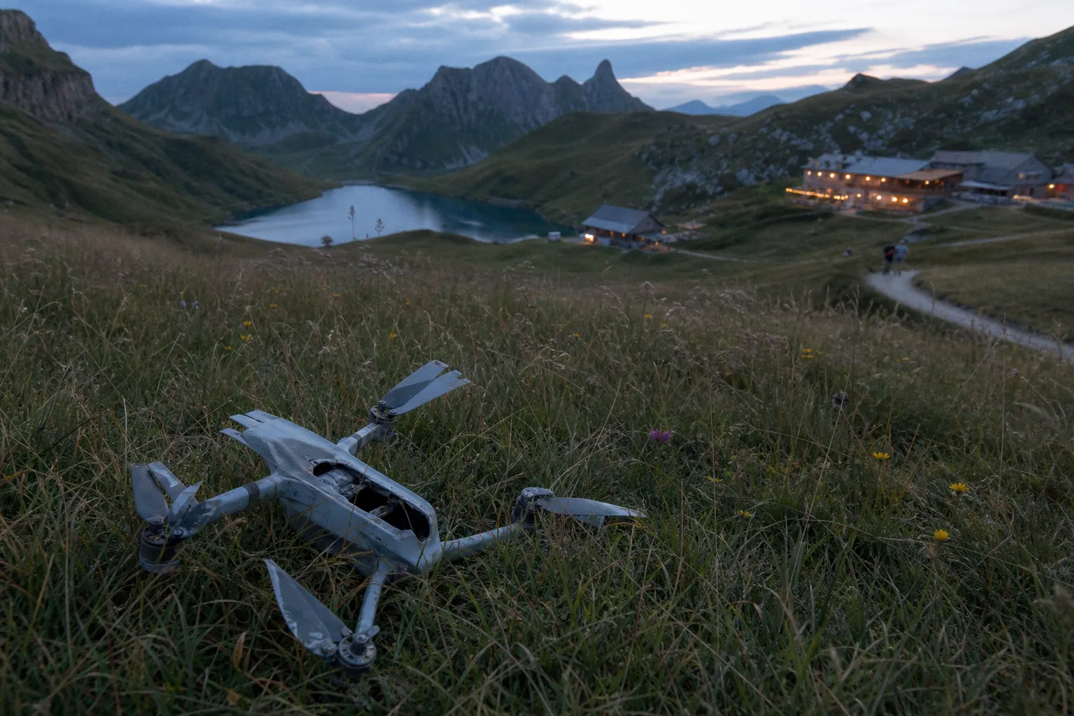
Then the viewer has no reason to care.
This is the drone footage trap. A tourism board video campaign uses aerial spectacle as a substitute for destination proof. The result is a film that could represent five coastlines, twelve old towns, or any resort with a licensed drone operator.
Aerial footage is not the problem. Generic sequencing is. A 12-second reveal of a beach does not explain where the guest parks, what opens at 7 a.m., which street has independent food operators, or why a three-night stay is worth booking now. It creates reach. It often fails at consideration.
The operational failure is simple: the aerial shot becomes the story instead of the transition.
A drone shot establishes geography. It does not establish a reason to arrive.
The high cost of aerial spectacle
The most expensive drone failure is not a poor edit. It is a credibility failure.
In July 2023, the Philippine Department of Tourism terminated its agreement with DDB Philippines after its US$880,000 “Love the Philippines” campaign was found to include stock footage that did not depict the Philippines. The disputed visuals included Indonesian rice terraces and Brazilian sand dunes.
The problem was larger than a sourcing error. The campaign positioned visual content as proof of place, then supplied proof from somewhere else. That damages the destination brand at the exact point where it is meant to reduce booking friction.
A tourism board video campaign carries a higher evidentiary burden than a hotel lifestyle reel. A hotel can sell a room category. A destination marketing organization is selling a location, its operators, its landscape, its culture, and its public infrastructure. The footage must survive scrutiny from residents, local businesses, travel media, and travelers who will compare it against maps, reviews, and user-generated clips.
Stock footage is not automatically unusable. It can support abstract transitions, weather graphics, historic context, or broad regional references when it is correctly licensed and accurately labeled. It fails when it is inserted as visual evidence of a specific destination.
The risk compounds when the footage is aerial:
- Aerial images remove many identifying details. That makes substitution easier in the edit and harder to detect internally.
- Editors often use drones as opening shots. A wrong opening shot becomes the campaign’s visual signature.
- Landscapes are easy to mislabel. Rice terraces, dune fields, bays, forests, and mountain ridges can look interchangeable to a remote production team.
- Aerial stock often arrives with weak metadata. “Tropical coast at sunset” is not location verification.
- Drone clips are frequently cut without local review because they appear operationally neutral. They are not neutral when they imply a specific place.
The Philippines case is the extreme version. Smaller failures are more common: a campaign shows a beach from the wrong municipality, an outdated harbor before a redevelopment, a closed attraction, or a season that visitors cannot realistically access. None may trigger international headlines. Each adds friction between the campaign promise and the guest experience.
For destination branding, geographic accuracy is not a legal footnote. It is product accuracy.
Why altitude creates weak destination branding
A drone can show scale. It cannot reliably show use.
At 120 metres, a market looks active. At eye level, viewers can see whether it has seating, shade, queues, accessible entrances, local vendors, and a reason to stop. The first shot creates a visual claim. The second provides decision-grade information.
This distinction matters because travel planning is a sequence of questions. Visitors are not only choosing a landscape. They are choosing an itinerary under constraints: time, weather, mobility, cost, transport, crowd tolerance, family needs, and confidence that the promised experience exists.
High-altitude footage tends to erase those constraints. That is why it produces a polished but anonymous edit.
The failure pattern is usually visible on a video heatmap or retention curve:
1. The opening is long. The film spends eight to fifteen seconds on an aerial reveal before introducing a person, business, activity, or practical detail.
2. The camera remains distant. Every location is framed as terrain rather than an experience with a participant.
3. Shot function repeats. Drone push-in follows drone orbit follows drone pullback. The edit changes location but not information density.
4. No local proof appears. There are no proprietors, guides, producers, chefs, rangers, makers, or visitors performing a real action.
5. The CTA has no bridge. The final “plan your trip” prompt arrives after a sequence of landscapes that has not built an itinerary.
Aerial footage in travel videos is especially vulnerable to repetition because drone movement is constrained. Rise. Reveal. Orbit. Track. Descend. Each movement has a place. Used without a narrative job, they become motion for its own sake.
The camera’s focal length contributes to the problem. Wide drone lenses flatten the difference between destinations that are, on the ground, completely different. A 24 mm-equivalent aerial view of a coastline gives shape and scale. It does not give texture. It cannot show the menu board, the surf instructor’s safety briefing, the trail surface, the ferry boarding process, or the room-to-water walking distance.
Those details are not decorative. They are conversion assets.
A destination video should answer at least one of these questions in its first 20 seconds:
- What can I do here that I cannot do in a generic competing destination?
- Who is this trip for?
- What is the sequence of a good day here?
- What does the place look like at human scale?
- What proof supports the claim made by the opening image?
If the answer is “the coastline is large,” the campaign has a visibility asset, not a destination story.
Scale attracts the click. Specificity carries the planning decision.
The technical balance: drone as establishing shot, ground camera as proof
The useful production model is not drone versus ground camera. It is aerial orientation plus ground-level verification.
The drone should establish where the guest is in relation to the experience. Ground footage should show what happens once the guest arrives. Interior footage, where relevant, should remove accommodation friction. The edit should move from map-scale to body-scale.
A strong sequence for destination video marketing often follows this order:
1. Establish the location. Use a short aerial shot to define coastline, valley, waterfront, trailhead, urban district, or island geography. Keep the move purposeful. A two- to four-second establishing shot is often enough.
2. Cut to the access point. Show the station, road, marina, trail entrance, pedestrian route, shuttle stop, or arrival point. This is where the broad claim becomes usable.
3. Show human interaction. A visitor rents equipment, enters a gallery, orders food, joins a guide, checks into a property, or starts an activity. The shot needs an action, not posed presence.
4. Capture local operational detail. Hands preparing food, a guide securing a harness, a brewer pouring, a ranger marking a route, a market trader packing produce. These clips carry authenticity because they show process.
5. Return to aerial only when geography adds information. Use it to connect locations, show route progression, reveal density, or close the itinerary.
The footage mix changes by campaign objective.
| Campaign objective | Drone footage job | Ground-level footage job | Common failure |
|---|---|---|---|
| Awareness campaign | Establish recognisable geography | Give one concrete reason to continue watching | Opening with a 20-second montage of unnamed scenery |
| Shoulder-season demand | Show weather, access, and landscape condition | Show businesses operating, guests using services, real activity | Reusing peak-summer aerial footage for an autumn offer |
| Neighborhood guide | Define district boundaries and walkability | Show storefronts, food, transit, streets, and local operators | Flying above a district without proving what visitors do there |
| Eco-tourism promotion | Show terrain and conservation scale | Show low-impact behavior, guides, rules, and local stewardship | Treating protected land as an empty cinematic backdrop |
| Event marketing | Show venue context and arrival routes | Show timing, crowds, performers, vendors, and participant flow | Using only a top-down crowd shot with no event information |
This is not an aesthetic preference. It is a shot-function audit.
Every shot should carry one job: location, access, activity, proof, transition, or call to action. If three drone clips perform the same location function in sequence, two are redundant. Remove them. The edit gains pace without losing meaning.
For cinematic capture, 24 fps remains a practical baseline when the intended output is a filmic destination brand asset. A shutter speed near 1/50th of a second preserves natural motion blur at that frame rate. In daylight, neutral density filters are not optional equipment accessories; they are exposure controls. Without them, operators compensate with fast shutter speeds, and movement can look brittle.
That technical baseline does not rescue a weak story. It only prevents the drone footage from looking amateurish before it fails strategically.
A practical capture specification for a tourism board production should include:
- 24 fps as the primary narrative frame rate when the campaign requires a cinematic delivery.
- Shutter near double the frame rate, typically 1/50th at 24 fps.
- ND filters matched to light conditions rather than automated exposure shifts during a move.
- Manual white balance locked per scene to prevent color temperature drift across clips.
- A defined safe area for vertical crops if the campaign will produce 9:16 paid social variants.
- Ground footage in the same delivery profile, color workflow, and dynamic range plan as the aerial material.
- A shot log recording municipality, date, season, operator, location coordinates where appropriate, permissions, and usage restrictions.
The last item is more valuable than another sunset orbit.
The stock footage problem is a metadata problem first
The phrase “we licensed it” does not answer the destination-branding question. Licensing confirms usage rights. It does not confirm geographic truth, current conditions, cultural accuracy, or campaign suitability.
A tourism board needs two separate approvals before aerial content enters the master edit:
| Approval layer | Core question | Required evidence |
|---|---|---|
| Rights clearance | Can the organization legally use this clip? | License terms, creator agreement, release status, territory and duration |
| Location verification | Does this clip accurately represent the stated destination and current visitor proposition? | Original capture file, verified location record, local stakeholder confirmation, date and seasonal context |
These should not sit with the same person by default. The agency producer may validate licenses. A destination-side reviewer should validate place. That reviewer needs enough authority to reject a visually strong clip when it misrepresents the product.
The verification process becomes critical in destination campaigns built from mixed production sources: local crews, tourism partners, hotel submissions, creator content, archived footage, and stock libraries. A central asset library without metadata is not a library. It is a future correction notice.
Build the asset record around the details that affect traveler expectations:
- Exact location, including district or municipality rather than only the country.
- Capture date and season.
- Time of day where light or operating conditions materially change the experience.
- Whether the location is publicly accessible, privately operated, seasonal, ticketed, or permit-restricted.
- What has changed since capture: construction, closures, vegetation, shoreline, transport, regulations.
- Whether people, signage, cultural sites, or protected landscapes require specific permissions or context.
- Whether the clip represents normal visitor use or a controlled production setup.
This process is not bureaucracy. It reduces expensive re-editing, campaign corrections, partner conflict, and wasted paid media spend.
A destination video can survive a slightly imperfect horizon. It does not survive a false location claim.
Budget allocation: stop funding the hero shot and starving the proof
Tourism video production budgets commonly overfund the visible event: drone hire, travel, permits, aerial operators, location scouting for the sunrise reveal. Then the team runs out of time for the footage that explains the destination.
That allocation creates a weak asset library. One hero film may look expensive. It will not generate enough adaptable material for destination pages, neighborhood guides, hotel partnerships, paid vertical placements, short-form retargeting, and seasonal updates.
The solution is not to cut aerial production to zero. It is to treat it as one line item in a conversion system.
A balanced tourism video production budget should protect five categories:
1. Pre-production intelligence. Map the visitor journey, local operators, access constraints, seasonal differences, and target markets before a shot list exists. Aerial routes follow the story map. They do not replace it.
2. Ground-level coverage. Allocate enough crew time for medium shots, close-ups, access footage, local business activity, and participant action. This is where an itinerary becomes credible.
3. Location verification and rights management. Fund metadata capture, approvals, releases, and archive governance. This spend is cheaper than public remediation.
4. Modular editing. Budget for a master film plus cutdowns organized by audience, district, activity, and funnel stage. One 90-second film is not a content strategy.
5. Measurement. Define what the video must move: qualified landing-page sessions, guide downloads, itinerary saves, partner referrals, accommodation searches, or paid-media completion rates. Do not call views ROI.
The last point is where many destination campaigns remain vague. There is no universal conversion-rate benchmark that proves drone-led campaigns outperform or underperform human-scale edits. The available evidence does not support that claim. The correct response is a split-test.
Run two versions against comparable paid audiences:
- Version A: aerial-led opening with the destination name and broad scenic claim.
- Version B: a short aerial orienting shot followed immediately by a local activity, operator, or clear itinerary proof.
Hold landing page, audience, spend, duration, and CTA constant. Measure not only video completion but downstream behavior. A high view-through rate means little if bounce rate rises after the click or if itinerary-page engagement collapses.
The useful metrics are usually:
- Three-second and 25% video retention, to identify whether the opening earns attention.
- Click-through rate, to measure whether the promise creates action.
- Landing-page bounce rate, to identify expectation mismatch.
- Scroll depth and interaction with maps, operator listings, or itinerary modules.
- Assisted conversions to accommodation search, partner referral, newsletter signup, or trip-planning action.
- Cost per qualified session, not only cost per view.
Aerial-first content may win cheap attention. Ground-proof content may produce fewer passive views but more useful sessions. The data decides. Not the drone reel.
A stricter production standard for destination campaigns
A tourism board does not need to abandon aerial footage. It needs to stop letting aerial footage make unearned claims.
The best drone work functions like a map. It gives orientation, scale, route logic, and spatial context. The best ground work functions like evidence. It shows the actual destination product operating at the scale a visitor will experience.
That division should govern the treatment, the shot list, the edit, the asset library, and the media plan.
Before approving the final cut, apply a technical audit:
- The first aerial shot establishes a named, verifiable location within seconds.
- No consecutive drone sequence repeats the same visual job.
- Every broad landscape claim is followed by human-scale proof.
- The edit shows access, activity, or local operation before the CTA.
- All footage representing the destination has documented source, location, capture date, and usage rights.
- Seasonal imagery matches the campaign’s actual travel proposition.
- Drone material is captured and graded consistently with ground footage.
- The campaign has a measurable downstream action beyond video views.
- At least one aerial-led and one proof-led opening have been split-tested where paid media spend justifies it.
The drone is a camera position. It is not a destination strategy.